Innovative Stormwater Management Software
2NDNATURE + Esri
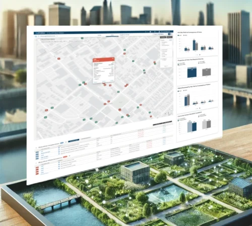
At 2NDNATURE, we are excited to be Esri's goto partner for stormwater solutions, providing a suite of apps, data, and services that integrate flawlessly with the ArcGIS System and set the standard for excellence in your stormwater program.
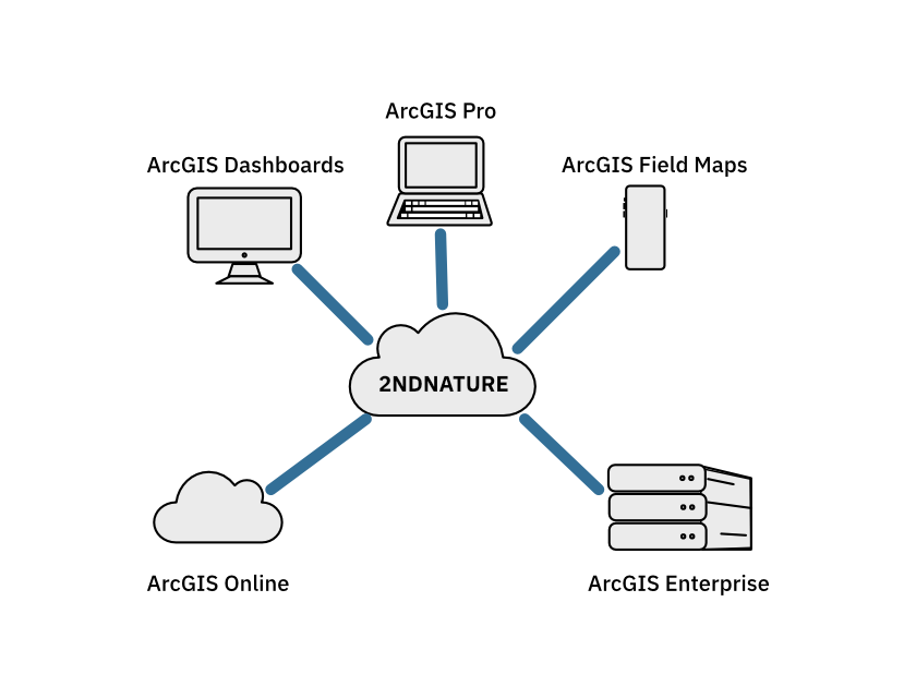
Flawless Synergy with the ArcGIS System
Our solutions work in complete harmony with ArcGIS, keeping your spatial data current, synchronized, and effortlessly accessible across your organization. Whether you’re out in the field or making decisions in the office, you can trust that your data is accurate, actionable, and always aligned with your operational needs.
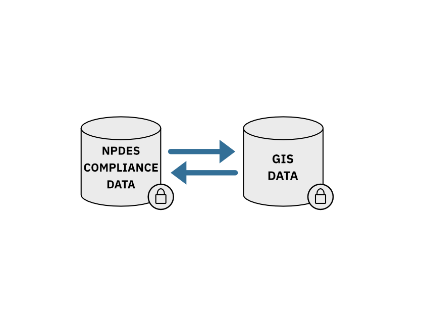
Data Synced, Compliance Solved
We simplify stormwater data management by keeping your NPDES compliance data perfectly in sync with your GIS. This means real-time, accurate information across all departments, making collaboration easier. Our solution also organizes and secures your historical records for compliance, ensuring they’re always ready for audits, reports, or reviews—no more last-minute scrambles. With our seamless integration, your GIS department won’t need extra work to keep things running in harmony, and your entire team can focus on the work that really matters.
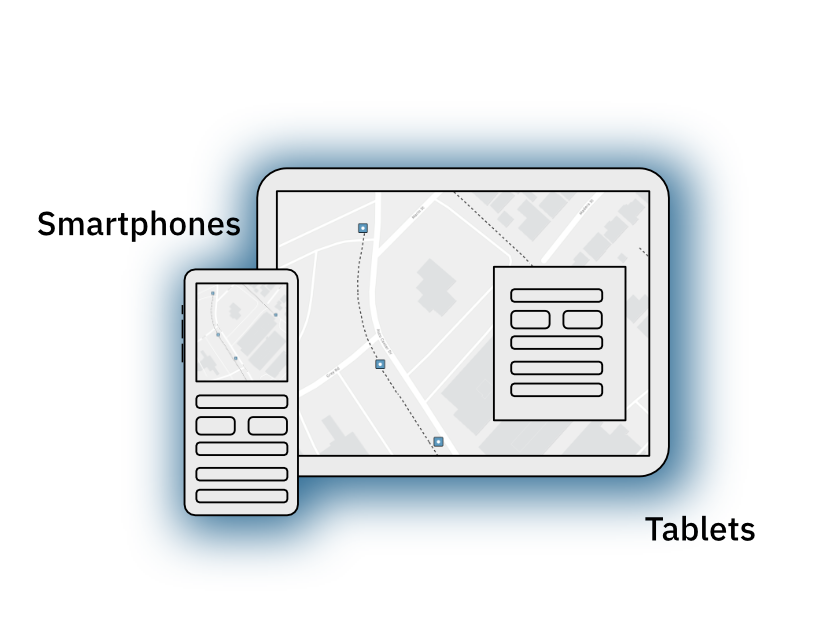
Pre-Configured for Esri Field Maps
With 2NDNATURE, you get more than just compatibility—you get a fully configured Esri Field Maps experience, ready to deploy the moment you are. There’s no need for additional setup or custom development. Our solutions come equipped with everything you need to start collecting and managing data right away, leveraging the full power of ArcGIS. Whether you’re in the field or at your desk, our pre-configured setup ensures you can focus on making informed decisions without any technical hurdles.
Dedicated Expertise at Your Side
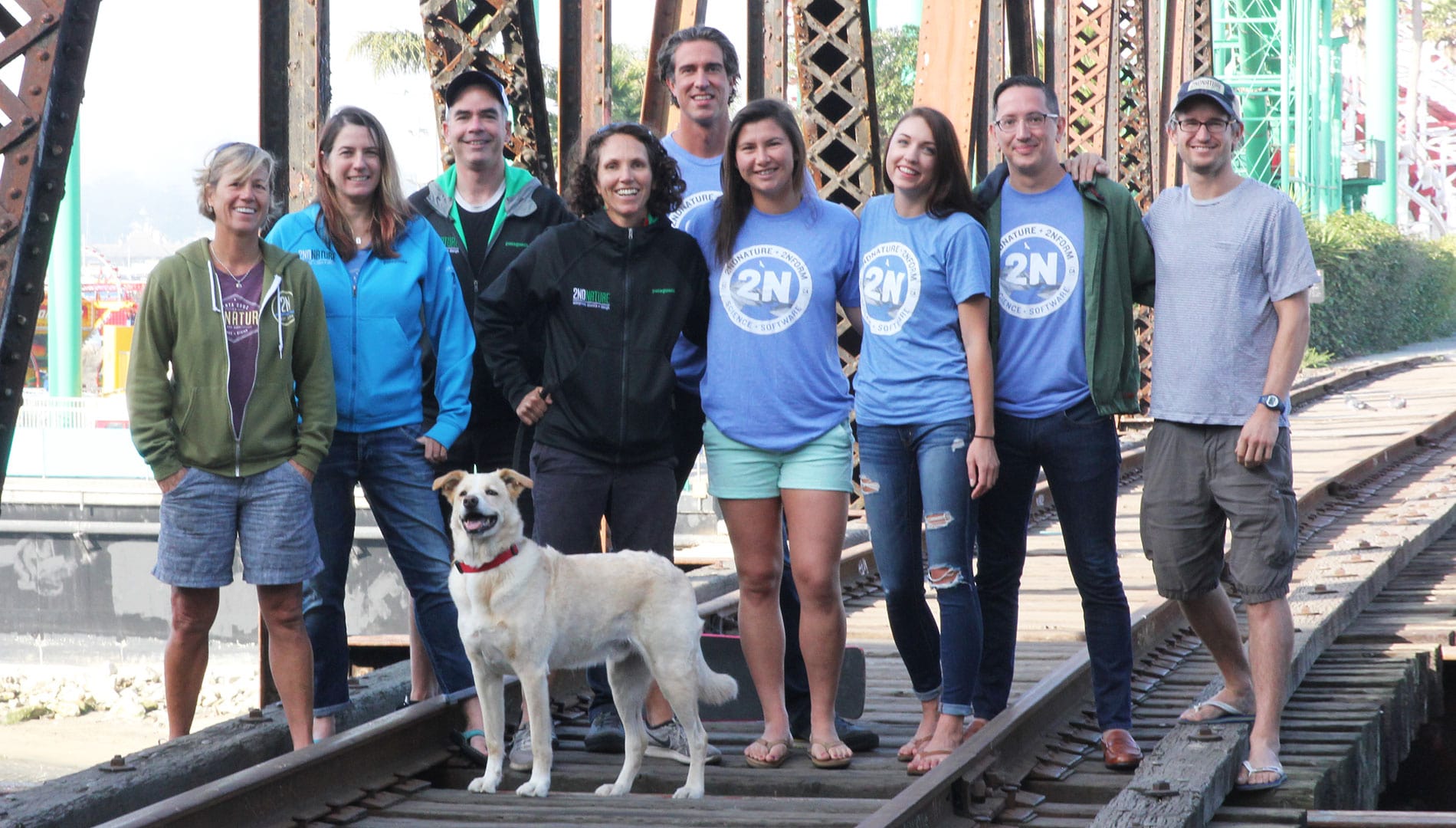
When you choose 2NDNATURE, you’re not just getting software—you’re gaining a team of seasoned professionals who live and breathe stormwater management and GIS technology. Our experts have deep, hands-on experience with Esri’s ArcGIS System, ensuring you’re never alone in navigating complex challenges. We’re here to empower you, offering personalized support that helps you unlock the full potential of our integrated solutions so you can achieve your goals with confidence and precision.

City of Salinas, CA
From Challenges to Resilience
Heidi from the City of Salinas faced outdated processes and compliance challenges. She transformed her program with 2NDNATURE and Esri’s GIS, moving from reactive reporting to proactive planning. Today, Heidi and her team use real-time data to stay ahead of compliance and improve resilience. Watch the Esri-hosted webinar replay to learn more.

